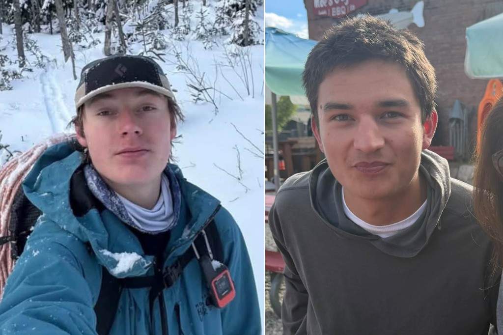
Fatalities involving experienced hikers in high-altitude terrain rarely stem from a single catastrophic event. Instead, they result from compounding operational failures across route selection, thermoregulation, and search-and-rescue (SAR) mobilization protocols. Analyzing the deaths of two Colorado college students during a routine hike requires stripping away emotional narrative to examine the precise physical mechanisms, environmental variables, and cognitive biases that convert a standard day hike into a terminal scenario.
Standard news reporting treats wilderness fatalities as unpredictable tragedies. From an operational risk management perspective, these events follow predictable failure trees. When hikers enter alpine or subalpine ecosystems—particularly in Colorado’s Front Range, San Juan Mountains, or Collegiate Peaks—they operate within narrow physiological and meteorological margins. Understanding how those margins collapse provides the only reliable framework for preventing similar outcomes.
The Physics of Rapid Alpine Deterioration
Colorado’s mountain topography creates localized microclimates driven by orographic lift. As moist air masses encounter steep elevation gradients, they rise, cool adiabatically, and condense. This mechanism generates rapid, unforecasted precipitation and temperature drops that frequently catch day hikers unprepared.
The primary physiological threat in these conditions is not trauma, but acute hypothermia. Human thermoregulation relies on maintaining a core body temperature near 37°C (98.6°F). When ambient temperatures drop and wind speeds increase, heat loss accelerates through two primary vectors:
- Convective Heat Loss: Wind strips away the thin boundary layer of warm air trapped next to the skin or outer clothing layers. At high altitudes, ridge-line wind speeds routinely exceed valley forecasts by 30 to 50 miles per hour, exponentially increasing the wind chill factor.
- Conductive and Evaporative Heat Loss: Sweat generated during steep ascents saturates base layers. Water conducts heat away from the body approximately 25 times faster than air. Once a hiker stops moving—due to navigation uncertainty, fatigue, or minor injury—metabolic heat production plummets while evaporative cooling continues unabated.
As core temperature drops below 35°C (95°F), the body initiates vasoconstriction to shunt blood away from extremities toward vital organs. This physiological defense mechanism directly impairs fine motor skills, preventing hikers from operating zippers, manipulating smartphone touchscreens, or securing shelter. Below 32°C (89.6°F), cognitive impairment sets in, manifesting as confusion, poor judgment, and paradoxical undressing. At this stage, victims lose the executive function required to self-rescue, even when a trailhead or treeline is within a short distance.
Cognitive Biases in Route Execution
Young, physically fit individuals—such as college students—possess high cardiovascular capacity, which creates a dangerous asymmetry: their physical ability to gain elevation outpaces their technical judgment regarding terrain hazards and turnaround thresholds. Several well-documented cognitive biases govern decision-making in these scenarios.
Summit Fever and Sunk Cost Fallacy
Hikers invest significant physical effort to reach high-altitude objectives. As weather deteriorates or daylight diminishes, the sunk cost fallacy compels individuals to push forward rather than retreat. Abandoning an objective feels like an immediate loss, whereas continuing feels like preserving the value of the effort already expended. In alpine environments, failing to enforce a strict, pre-determined turnaround time drastically increases exposure to afternoon convective storms and nocturnal temperature drops.
Normalization of Deviance
When hikers successfully navigate minor off-trail sections or endure brief weather squalls without negative consequences, their baseline perception of risk shifts. Stepping off a marked trail to bypass a snowfield or take a perceived shortcut introduces route-finding errors. In complex terrain characterized by talus fields, cliff bands, and dense timberline krummholz, losing the primary trail tread often leads hikers into drainage gullies. While following water downhill appears intuitive, Colorado mountain drainages frequently terminate in impassable waterfalls, steep chutes, or dense deadfall that exhaust energy reserves and block line-of-sight communication.
Optimism Bias and Equipment Deficits
Day hikers routinely pack for best-case scenarios based on trailhead conditions. A 20°C (68°F) morning at 8,000 feet masks the reality of sub-freezing temperatures and high winds at 12,000 feet. Relying on cotton apparel, minimal caloric reserves, and a single smartphone for navigation creates a fragile system with zero redundancy. Lithium-ion batteries suffer severe voltage drops in cold temperatures, often shutting down abruptly when a device is exposed to sub-freezing air—eliminating both digital maps and emergency communication capabilities simultaneously.
Structural Bottlenecks in Search and Rescue Operations
When hikers fail to return, the efficiency of Search and Rescue (SAR) operations depends entirely on the quality of initial intelligence and the time elapsed before notification. In Colorado, county sheriff offices hold statutory authority for SAR, delegating field execution to volunteer mountain rescue teams. These teams operate under strict risk-management protocols to prevent rescuer fatalities.
- The Notification Lag: College students frequently operate on irregular schedules, delaying the realization by peers or family that a party is overdue. A 12-to-24-hour delay in reporting a missing person reduces survivability rates exponentially in sub-freezing conditions, converting a rescue mission into a recovery operation before teams even deploy.
- Search Area Expansion: Without a recorded Point Last Seen (PLS) or a registered trip plan, search managers must construct probability-of-area (POA) models based on trailhead vehicle sightings, cellular ping data, and standard hiking speeds. Every hour a missing hiker remains mobile—or moves erratically due to cold-induced confusion—the search radius expands geometrically, diluting ground team density across rugged vertical terrain.
- Environmental Constraints on Aerial Assets: Thermal imaging via helicopters or unmanned aerial vehicles (UAVs) accelerates victim location, but high winds, low cloud ceilings, and dense canopy cover routinely ground air support. Ground teams must then traverse avalanche terrain, slick rock, and whiteout conditions on foot, limiting travel speeds to less than one mile per hour.
Fact Versus Hypothesis in Unwitnessed Wilderness Fatalities
When two hikers are found deceased without witnesses, investigators and analysts must separate established physical evidence from behavioral reconstruction.
Established Operational Realities:
- Victims were located within a specific search sector after failing to return from a planned hike.
- High-altitude terrain in Colorado presents acute environmental hazards, including rapid temperature shifts, steep vertical relief, and limited cellular coverage.
- Cold-weather exposure and trauma represent the primary clinical causes of death in non-criminal backcountry fatalities.
Analytical Hypotheses (Pending Coroner and SAR Reports):
- Sequence of Events: Whether one hiker sustained a traumatic injury (such as a fall on steep scree or ice) and the second hiker succumbed to hypothermia while remaining with their partner, or whether both experienced simultaneous environmental exposure due to becoming lost in whiteout conditions.
- Equipment Failure: Whether depleted phone batteries, inadequate insulation layers, or lack of emergency bivy gear directly prevented overnight survival.
- Route Deviation: Whether the pair intentionally departed the established trail to attempt a peak scramble or unintentionally lost the trail tread under snow cover.
Distinguishing between these categories prevents premature conclusions while highlighting the exact variables that determine survival outcomes.
Operational Protocols for Backcountry Risk Mitigation
Eliminating backcountry fatalities requires replacing informal habits with rigid operational checklists. Relying on physical fitness or fair-weather forecasts fails when environmental variables shift.
- Enforce Hard Turnaround Thresholds: Establish a non-negotiable turnaround time prior to departure—typically no later than 12:00 PM for high-altitude objectives—regardless of proximity to the summit or trail destination.
- Eliminate Single-Point Navigation Failures: Carry a physical topographic map and magnetic compass alongside a dedicated GPS unit or satellite communicator (such as a Garmin inReach or Apple iPhone with satellite SOS capability). Keep lithium-powered devices inside an insulated interior pocket close to body heat.
- Standardize Layering Systems: Prohibit cotton garments entirely. Utilize moisture-wicking synthetic or merino wool base layers, an insulating mid-layer (fleece or down), and a windproof, waterproof hardshell jacket and pants, even when trailhead skies are clear.
- Carry Minimum Overnight Bivy Gear: Every day pack must contain a lightweight emergency bivy sack, a headlamp with spare lithium batteries, high-calorie dense food (minimum 1,000 kilocalories), and a mechanical fire-starting kit. These items add less than two pounds of weight while extending survival windows by 24 to 48 hours.
- Execute Formal Trip Plans: Leave a written itinerary with a reliable contact detailing the exact trailhead, intended route, vehicle description, equipment carried, and a strict escalation time for contacting the local county sheriff if no check-in occurs.
Institutions, university outdoor programs, and land management agencies must shift public education away from generic safety slogans toward mandatory pre-trip risk audits. Requiring hikers to register digital trip plans at high-risk trailheads and deploying automated cellular ping protocols upon overdue alerts will compress SAR response timelines and directly reduce alpine mortality rates.