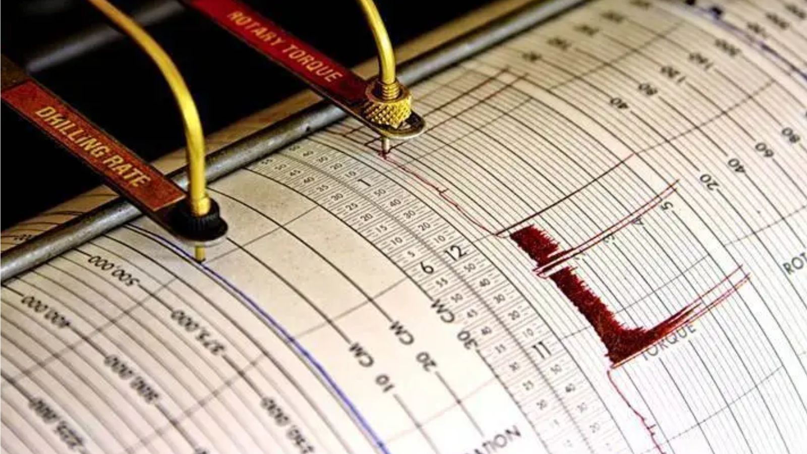
Ground doesn't just rumble like that without consequences. When a massive 7.4-magnitude earthquake smashed into Indonesia, waking up terrified residents in the dead of night, it didn't come alone. Two sharp aftershocks ripped through the Flores Sea shortly after, keeping emergency teams on edge and triggering urgent regional tsunami alerts.
If you live anywhere near the Pacific Ring of Fire, this kind of violent awakening is an old, unwelcome visitor. But the clustering of these events raises immediate questions about structural safety, real-time tracking, and how coastal communities handle sudden evacuation mandates. For an alternative perspective, read: this related article.
The Anatomy of the Flores Sea Tremors
Let's look at the numbers because they tell a raw story. The main seismic event hit hard, sending violent energy waves through the crust. According to seismic data networks, it was quickly followed by a 6.3-magnitude tremor and another 6.0 jolt nearby in the Flores Sea.
Shallow earthquakes cause the most panic—and the most damage. When a rupture happens close to the surface, seismic waves don't lose energy traveling up from the deep earth. They slam straight into buildings, roads, and foundations with maximum velocity. Related coverage on this matter has been shared by USA Today.
BMKG and regional agencies scrambled to push out tsunami warnings. That matters because coastal areas in East Nusa Tenggara sit directly in the crosshairs when undersea faults shift. People had minutes to decide whether to grab essentials or run for higher ground.
Why Indonesia Gets Hit So Often
You can't talk about Indonesian seismicity without acknowledging geography. The archipelago straddles multiple colliding tectonic plates. It's the textbook definition of high-risk geology.
- Subduction zones: Heavy oceanic plates slide beneath continental plates, building up centuries of friction.
- Shallow crustal faults: Localized faults snap under pressure, causing intense localized shaking even away from subduction interfaces.
- Volcanic activity: The entire region functions as a massive geological pressure cooker.
Most people underestimate how fast local infrastructure degrades under constant thermal and seismic stress. Buildings that survive a moderate shake ten years ago might crumble today if maintenance hasn't kept pace.
Surviving the Immediate Aftermath
When the shaking stops, the real test begins. Emergency responders face a massive information gap during the first two hours. Communications drop, power grids fail, and rumors spread faster than official bulletins.
If you're ever caught in a major seismic zone, the checklist is short and brutal. Drop, cover, and hold on isn't just a school drill. Move away from coastal lines immediately if a tsunami warning goes live—don't wait for local sirens to repeat twice. Check your gas lines, inspect your walls for structural cracks, and stay off overloaded mobile networks so emergency traffic can get through.
Indonesia's agencies handle these alerts routinely, but every single event exposes weak spots in urban planning and evacuation routes. Staying safe means knowing your local elevation points before the earth decides to move beneath your feet.