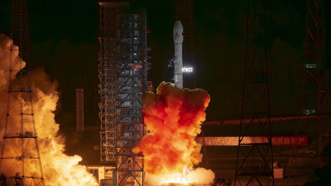
Deep-space navigation operating over interplanetary distances scales in complexity based on the structural unpredictability of minor celestial bodies. The arrival of China National Space Administration’s (CNSA) Tianwen-2 spacecraft at a proximity of 20 kilometers from asteroid 2016HO3 (Kamo’oalewa) highlights a rigorous execution of trajectory refinement and autonomous approach vectoring. Spanning approximately 400 days and covering a cumulative path of 1 billion kilometers since its May 29, 2025 launch, the mission transitions from a ballistic transit phase to a highly localized proximity operations regime.
The primary operational constraint governing this rendezvous stems from the vast discrepancy between ground-based orbital observations and the actual localized kinematics of the target asteroid. Terrestrial tracking systems introduce spatial margins of error measured in hundreds of kilometers when calculating the positions of objects less than 100 meters in diameter. Resolving this delta requires an iterative, multi-tiered optical navigation framework that transforms raw proximity telemetry into highly reliable positional fixes. Don't forget to check out our previous article on this related article.
The Ephemeris Correction Function and Trajectory Phase Transitions
Executing an interplanetary rendezvous with a quasi-satellite moving at relativistic velocities relative to a planetary body requires a strict division of the flight profile into sequential energy-management phases. Ground observations establish the initial baseline, but proximity maneuvers rely on onboard active sensor arrays.
Phase 1: High-Velocity Intercept and Optical Acquisition
Until June 6, 2026, the spacecraft relied entirely on deep-space maneuvers and radiometric tracking from Earth-based deep space networks. Upon initial optical detection of 2016HO3 on June 6, the onboard navigation suite initiated a localized ephemeris correction. The integration of optical navigation data allowed the flight computers to reconcile the pre-calculated tracking data with actual visual target acquisition. This reduced the target's positional uncertainty from an initial scale of hundreds of kilometers down to the kilometer scale within a 24-hour window. If you want more about the background here, The Verge offers an informative summary.
Phase 2: Coplanar Orbital Matching
On June 7, 2026, at a range of approximately 30,000 kilometers, Tianwen-2 executed a major velocity adjustment to enter a coplanar trajectory with 2016HO3. This maneuver aligned the orbital planes of the spacecraft and the asteroid relative to the Sun. Matching the orbital plane eliminates out-of-plane velocity differentials, converting a high-energy intercept profile into a low-relative-velocity drift phase.
Phase 3: Proximity Deceleration Profile
Between June 7 and June 19, the spacecraft systematically shed relative kinetic energy. On June 19, the probe reached a milestone threshold of 2,000 kilometers. By July 2, 2026, the vehicle stabilized its position exactly 20 kilometers from the surface, initiating close-range imaging and field mapping.
[Earth Launch: May 29, 2025]
       │
       ▼ (400 Days, 1 Billion km Transit)
[Initial Optical Detection: June 6, 2026] ───► Ephemeris error reduced to kilometer scale
       │
       ▼ (Distance: 30,000 km)
[Coplanar Trajectory Entry: June 7, 2026] ──► Velocity vector alignment completed
       │
       ▼ (Distance: 2,000 km)
[Close Approach Milestone: June 19, 2026] ──► Localized proximity sensor deployment
       │
       ▼ (Distance: 20 km)
[Station-Keeping Stability: July 2, 2026] ──► Scientific exploration and surface mapping
Micro-Gravity Dynamics and Proximity Operation Constraints
Operating within a 20-kilometer envelope of an asteroid measuring between 40 and 100 meters across introduces severe mechanical complexities dictated by weak gravitational fields. Traditional orbital mechanics, which depend heavily on a dominant central gravitational mass, break down in proximity to bodies of this scale.
The gravitational pull exerted by 2016HO3 is negligible, meaning standard stable orbits do not exist at this distance. The spacecraft does not circle the asteroid in a conventional sense; instead, it executes a co-orbital formation-flying sequence where solar radiation pressure and gravitational perturbations from the Earth and Sun often exceed the gravitational force of the asteroid itself.
Managing this environment requires a continuous feedback loop consisting of three core mechanical pillars:
- Morphological Mapping: The spacecraft uses wide-angle and narrow-angle scientific cameras to reconstruct a high-resolution three-dimensional model of the asteroid. Determining the exact volume and shape factor is critical to calculating mass distribution and locating the center of gravity.
- Material Composition Analysis: Spectrometers operating across infrared and visible wavebands analyze surface reflectivity to determine if the object is an unaltered primitive carbonaceous body or a fragment of ejecta from a larger planetary collision.
- Internal Structure Sounding: Synthetic aperture radar and localized gravity-field measurements are planned to identify whether 2016HO3 is a monolithic solid rock or a loosely bound "rubble pile" held together by minimal cohesive forces.
Uncertainty regarding the surface morphology forms a major structural bottleneck. If the asteroid is a rubble pile, its rotation could cause localized slope failures or surface shifting, complicating any physical interaction. Furthermore, if the body's true dimensions lean toward the upper limit of current estimates, the mass calculations must be scaled cubically, fundamentally altering the descent thruster profiles required for the subsequent sampling phase.
Dual-Target Mission Optimization Architecture
Tianwen-2 utilizes a complex mission architecture designed to maximize scientific returns over a decade-long operational lifespan by targeting two entirely distinct classes of solar system bodies. The resource allocation strategy balances short-term proximity operations with long-term propellant conservation.
The mission layout splits into two distinct thermodynamic and dynamic environments:
                  ┌────────────────────────────────────────┐
                  │ Tianwen-2 Interplanetary Architecture   │
                  └───────────────────┬────────────────────┘
                                      │
           ┌──────────────────────────┴──────────────────────────┐
           ▼                                                     ▼
┌─────────────────────────────────────┐               ┌─────────────────────────────────────┐
│  Phase I: Near-Earth Quasi-Satellite│               │  Phase II: Main-Belt Comet (MBC)    │
│  Target: Asteroid 2016HO3           │               │  Target: Comet 311P                 │
├─────────────────────────────────────┤               ├─────────────────────────────────────┤
│ • Weak gravitational field dynamics │               │ • High-velocity main-belt transit   │
│ • Optical tracking & sampling       │               │ • Outgassing & volatile sublimation │
│ • Sample return capsule ejection    │               │ • Extended sensor lifetime limits   │
└─────────────────────────────────────┘               └─────────────────────────────────────┘
The primary objective demands anchoring or hovering close to the surface of 2016HO3 to collect physical surface samples. This material will be sealed inside a dedicated return module. After completing the sampling phase, the main spacecraft will execute an departure burn, returning to Earth's vicinity by late 2027 to eject the sample return capsule into the atmosphere.
The second objective begins post-ejection. The main propulsion bus will leverage Earth's gravity via a swing-by maneuver, accelerating the spacecraft toward the outer solar system. The final destination is the main-belt comet 311P, an object located beyond the orbit of Mars. This dual-destination structure allows scientists to directly compare the chemical signatures of a near-Earth quasi-satellite with an active, volatile-rich main-belt object, providing a data-driven framework for mapping water and organic compound distribution in the early solar system.
The operational risks during the current close-observation phase dictate that the spacecraft must maintain a conservative thrust-to-weight profile. Every micro-thruster firing alters the precise tracking alignment needed for high-resolution spectroscopy. The mission team must now prioritize structural mapping and surface density verification before attempting to reduce the distance from 20 kilometers down to a touch-and-go descent trajectory. High-precision autonomous navigation algorithms will guide the final descent, relying on real-time optical feature tracking to mitigate the lag caused by light-travel time delays between Earth-based stations and the spacecraft.