When a wall of mud, ice, and water tore down the Himalayas along the Nepal-Tibet border, the initial assumption was simple. People blamed an earthquake. They figured a tremor shook loose a mountain, blocked a river, and created a temporary dam that eventually burst.
It is a neat narrative. It is also wrong.
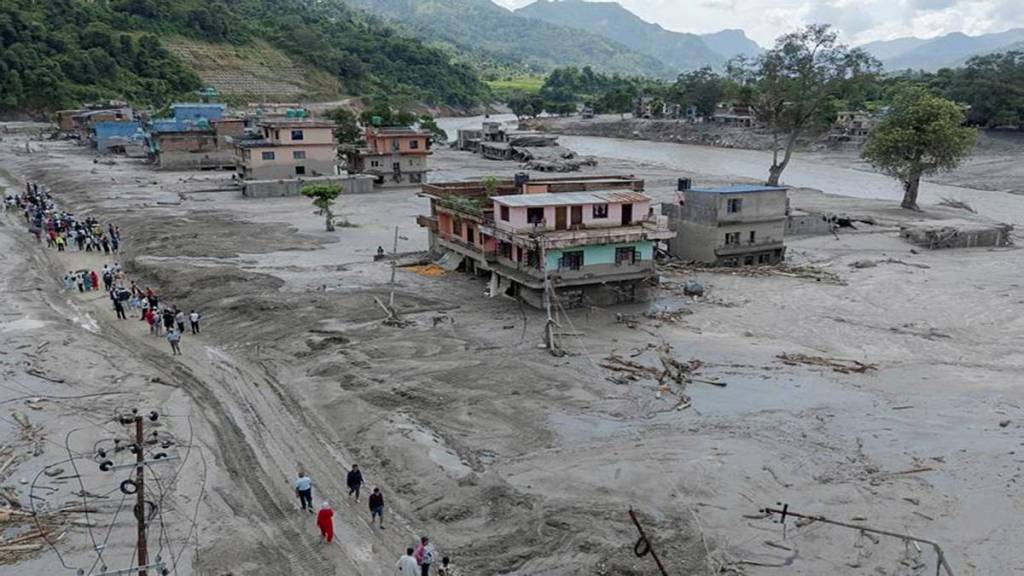
Satellite data and seismic analysis proved that the catastrophe wasn't triggered by a conventional tectonic quake or a typical heavy monsoon downpour. Instead, a massive chunk of a glacier—roughly 0.2 square kilometers in size—sheared off from an elevation of over 5,200 meters and plunged straight down to the valley floor. This ice-and-rock avalanche liquefied into a high-speed debris torrent, acting less like a river flood and more like an inland tsunami.
If you think this is just another seasonal weather event, you are missing the entire point of what is happening in high-altitude mountain ranges.
The Hazard Cascade Nobody Prepared For
Mountain experts call this sequence a hazard chain, and it terrifies researchers for a reason. Traditional warning systems look for specific red flags. They track heavy rainfall. They monitor river gauges for rising water levels. They watch for cloudbursts.
None of those indicators mattered here. There was no prolonged rainfall beforehand. The river looked normal until the exact second the avalanche hit.
When a massive block of ice falls over a vertical drop of more than a kilometer, it does not just splash. It pulverizes everything it touches, sweeping up millions of tons of sediment, boulders, and loose earth. By the time this slurry reaches inhabited valleys, its volume has multiplied.
The geography of the region turns physics into a weapon. The Himalayas feature some of the deepest river gorges on Earth. These narrow valleys act as natural funnels. They compress the debris flow, maintaining its velocity over massive distances and leaving downstream communities with zero time to evacuate.
Why Traditional Flood Defenses Are Failing
We keep building infrastructure as if water behaves predictably. It does not.
Hydropower projects, roads, bridges, and border trade ports like Gyirong Port are routinely placed in these deep valleys because that is where flat land and river resources exist. Economically, it makes sense. Geologically, it is a ticking clock.
When a debris-laden surge hits concrete structures, it doesn't just flow around them. It acts like sandpaper mixed with wrecking balls. Last year's glacial outbursts and this latest disaster show that standard river defenses are completely overwhelmed by the sheer density of rock and ice moving at highway speeds.
You cannot engineer your way out of a disaster by building higher concrete walls if the water carries enough boulders to bury those walls entirely. The entire approach to regional zoning needs a complete overhaul.
Moving Beyond Reaction Mode
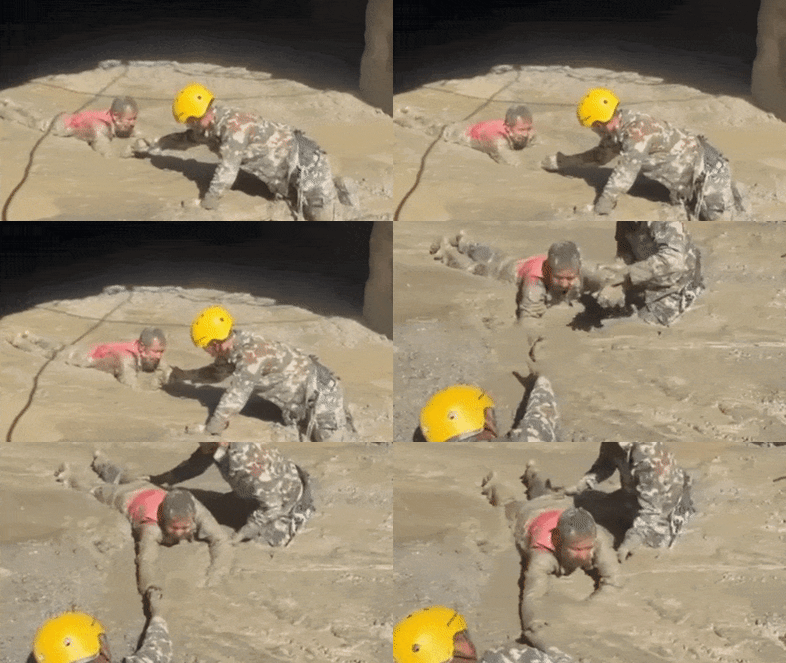
Governments usually scramble after the bodies are counted. They deploy rescue helicopters, clear blocked roads with heavy earthmovers, and promise better safety reviews. Then memory fades until the next valley washes out.
Protecting mountain communities requires shifting from water monitoring to slope monitoring. Satellites can track structural changes in high-altitude glaciers, permafrost degradation, and widening cracks long before an ice sheet decides to let go. Seismic networks need to be tuned to recognize the unique low-frequency rumble of ice-rock avalanches rather than waiting for tectonic indicators.
If you live, work, or invest near high-mountain river systems, you have to accept a hard truth. The baseline has shifted. Historical weather patterns are no longer a reliable guide for what a river can do on a clear morning. Stop treating high-altitude infrastructure as a permanent asset until regional risk mapping accounts for upper-slope collapses.
Map the danger zones from the mountaintop down, or prepare to keep digging people out of the mud.