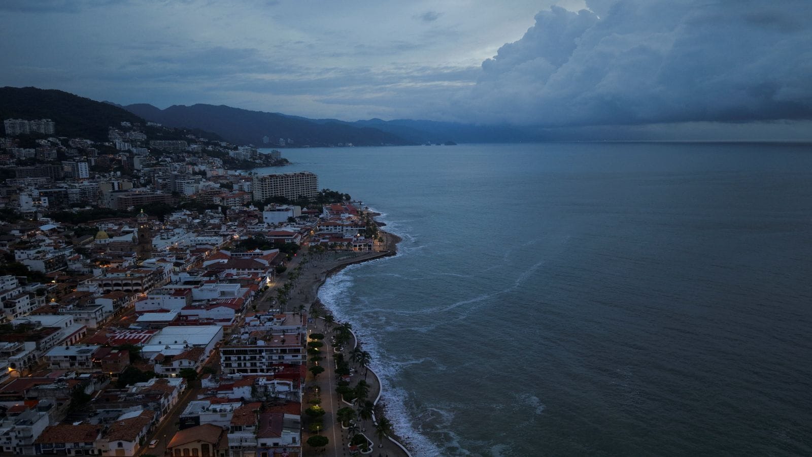
No, the Atlantic isn't suddenly becoming the Trump Ocean tomorrow. When President Donald Trump stood on stage in Clarksville, Tennessee, on October 10, 2026, and pitched renaming either the Pacific or the Atlantic Ocean to "Trump Ocean" or "Ocean of the Americas," the internet reacted exactly how you'd expect. Half the country laughed it off as classic rally banter, while the other half braced for another round of digital map chaos.
Here's the reality behind the headline. You can't just sign an executive order and claim an entire ocean basin, no matter how many domestic landmarks you've already rebranded.
Why the "Trump Ocean" Pitch Actually Happened
To understand why Trump floated this idea in October 2026, you have to look at his track record over the past two years. He hasn't exactly been shy about taking a red pen to geography.
In January 2025, right at the start of his second term, he signed executive orders directing federal agencies to swap "Gulf of Mexico" for "Gulf of America" and restore "Mount McKinley" over Denali. Then in August 2026, amid bitter tariff fights with Ottawa, he ordered federal agencies to start calling Lake Ontario "Lake America". He even mused on Truth Social in September 2026 about rebranding the Strait of Hormuz as the "Trump Strait" during heightened tensions with Iran.
So when he grabbed the mic in Clarksville ahead of the 2026 midterms, the progression felt almost scripted to his base. "We've got the gulf. We've got a beautiful lake," Trump told the crowd. "We need an ocean."
He didn't stop there. Less than two weeks later, at a South Carolina rally on October 21, 2026, Trump claimed he had personally called Google CEO Sundar Pichai to test the waters on updating Google Maps. According to Trump's telling of the call, Pichai flatly refused. "No, no, no," Trump quoted Pichai as saying. "This time I'm not doing it... Oceans are different, sir. They cover a lot of countries."
Even after admitting he'd probably pass on the Atlantic following that pushback, Trump immediately pivoted to the West Coast, telling rallygoers they might call the Pacific the "American Ocean" instead.
How Geographic Renaming Actually Works in the Real World
If you've ever worked with maritime charts, international aviation data, or cross-border mapping, you know there's a massive gap between what a U.S. president orders federal clerks to type and what the rest of the planet recognizes.
The U.S. Board on Geographic Names Has Hard Limits
Inside the United States, federal naming authority sits with the U.S. Board on Geographic Names (BGN), an interagency body established back in 1890 to standardize place names across government maps and documents. When Trump ordered the "Gulf of America" and "Lake America" changes, the BGN updated the federal Geographic Names Information System. That forced agencies like the USGS, NOAA, and the military to use the new labels in official domestic communications.
Notice the catch? That authority stops cold at U.S. territorial boundaries.
International Waters Play by Different Rules
Oceans don't belong to Washington. Beyond a nation's 12-nautical-mile territorial sea and its 200-nautical-mile Exclusive Economic Zone lies the high seas—international waters governed by treaties like the United Nations Convention on the Law of the Sea.
For global maritime navigation, chartmakers rely on the International Hydrographic Organization (IHO), specifically its publication Limits of Oceans and Seas. The IHO operates on international consensus among dozens of member states. One country can't unilaterally walk into an IHO meeting and rename a body of water shared by Europe, Africa, Asia, and the Americas.
Geographers Reuben Rose-Redwood, Derek Alderman, and Frédéric Giraut pointed out this exact legal wall in TIME following the Tennessee speech. Place names on shared international waters carry centuries of diplomatic, navigational, and cultural weight. Arbitrary unilateral rebranding simply doesn't stick outside domestic borders.
Why Tech Companies Are Caught in the Middle
This is where things get messy for regular people. You probably don't read NOAA nautical charts on your morning commute, but you definitely check Google Maps or Apple Maps.
When the "Gulf of America" order dropped in 2025, Google updated its U.S. interface to show the new name for American users while keeping "Gulf of Mexico" for users in Mexico and showing both names internationally. That localized compromise didn't save Google from blowback—Mexico still sued the tech giant over the U.S. label change, and Canadian officials blasted the later Lake Ontario rebrand.
Private mapping platforms use something called disputed-border and localized-toponym rendering. Basically, your IP address determines what reality you see on your screen.
- U.S. viewers see whatever the federal BGN database pushes out for domestic or adjacent waters.
- Foreign viewers see their own government's recognized names or dual labels.
- Global shipping and aviation systems ignore domestic political branding altogether to prevent life-threatening confusion at sea or in the air.
Even Silicon Valley has a breaking point. Changing a regional gulf is one thing; slapping a single country's or president's name across 30 percent of the Earth's surface—which is roughly what the Pacific Ocean alone covers—would make an American tech platform look ridiculous to billions of international users.
What Happens When Domestic Politics Collides With Global Maps
Honestly, most political commentators miss the actual strategy behind these announcements. Trump isn't sitting in the Oval Office expecting Portuguese fishermen or Japanese cargo captains to start calling their waters the Trump Ocean.
It's pure political branding aimed at a domestic audience ahead of tough midterm elections. By turning geography into a loyalty test, every news outlet—from News18 to The Guardian—ends up repeating the phrase for weeks. Meanwhile, voters who love the "America First" bravado see a president literally putting their country's stamp on the globe, while critics spend news cycles explaining hydrographic law.
The downside? Real diplomatic friction. Every time Washington unilaterally alters a shared name—whether it's the Gulf of Mexico or Lake Ontario—it hands foreign leaders an easy nationalist talking point and complicates bilateral talks on trade, border security, and maritime rights.
How to Verify Official Geographic Names Yourself
If you're writing, researching, teaching, or building software that relies on accurate place names, don't trust viral rally clips or localized consumer map apps. Use primary cartographic authorities instead:
- Check the USGS Geographic Names Information System (GNIS) if you specifically need official U.S. federal government terminology for domestic agencies.
- Cross-reference the UN Group of Experts on Geographical Names (UNGEGN) or IHO maritime standards whenever your work involves international waters, cross-border shipping, or global publishing.
- Inspect map data through open-source databases like OpenStreetMap, which document local names, international tags (
int_name), and disputed labels transparently rather than hiding behind IP-based overrides.
Watch Trump's Atlantic Ocean renaming remarks to hear the exact context of how he framed the proposal on stage.