Salt air sticks to your skin long before you see the water. It carries a heavy, iodine tang—the smell of decay and birth happening all at once in the cold wash of the North Atlantic.
If you walk the rocky drop-offs of the Canadian coast, your boots will find a slick, treacherous footing. That is not just wet stone. That is a kingdom of gold-brown leather, slicked across the boulders like discarded armor. Kelp.
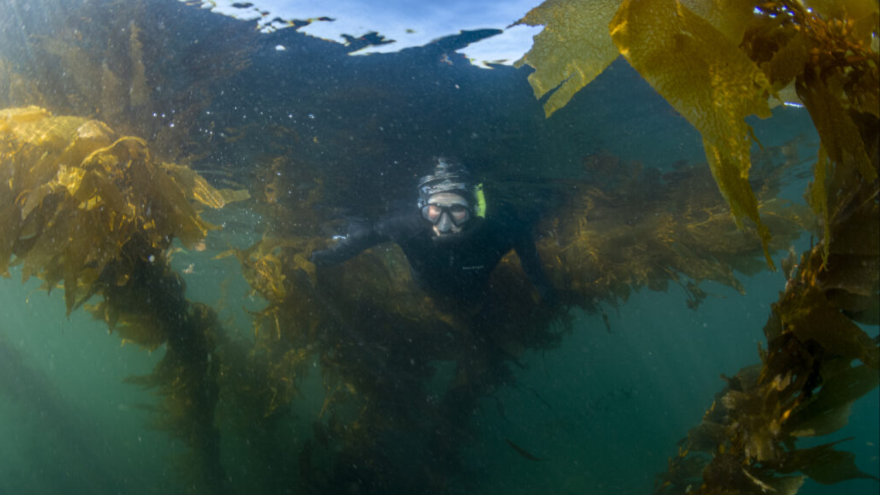
For most of human history, we treated the edge of the sea as a border. Land ends. Ocean begins. But the kelp forests do not care about our tidy boundaries. They anchor themselves to the submerged bedrock and stretch upward, wrestling with the tides, creating a submerged metropolis where cod hide, sea urchins graze, and the physical force of a winter storm is blunted before it ever claws at the soil of a cliffside cabin.
We thought those forests were eternal.
Then came the reckoning. Warming waters. Grazing hordes of sea urchins moving like locusts across the sea floor. Pollution bleeding out from our shorelines. Everywhere we looked, the green-gold canopy seemed to be thinning, dissolving into ghost reefs of bare, white stone. People panicked. Ecologists traded stories of doom over coffee in Halifax and Victoria. The narrative was simple, terrifying, and incomplete: the kelp is dying, and we are watching it happen.
Except we were looking through a very small window.
Consider what happens when a team of researchers decides to stop guessing and start digging. Not just back into last year's field notes, or the decade before that, but all the way back to the mid-nineteenth century.
Imagine marine ecologist Dr. Anya Vance sitting in a damp archives basement in Ottawa, her fingers grayed by nineteenth-century newsprint and hand-inked hydrographic surveys. She is not staring at a computer screen running complex predictive models. She is looking at the meticulous, obsessive handwriting of a British naval cartographer from 1854. That surveyor had no concept of climate change. He cared about rocks, depths, and safe passage for wooden hulls. But in the margins of his charts, trapped in the precise notes of nearshore hazards, lay an inadvertent treasure map.
Anya and her colleagues spent years gathering those fragments. They pulled together handwritten logs from lighthouse keepers, old fishing records, faded aerial photographs taken from biplanes in the 1930s, and modern satellite telemetry. They stitched them together across five thousand six hundred kilometers of jagged, unforgiving coastline.
One hundred and seventy years of human observation, compressed into a single digital ledger.
When the final map lit up the screens at the laboratory, the result defied the clean narrative of absolute catastrophe.
The kelp persistence had not vanished uniformly. In many places, across generations of storms, industrial expansion, and shifting ocean temperatures, the kelp had simply stayed put. It bent. It retreated in some bays. But in others, it held the line with a stubbornness that defied easy explanation.
Let me be honest with you. When I first heard these numbers, my instinct was skepticism. How can we trust a map built from the diary of a 19th-century sailor who might have had too much rum on a Tuesday afternoon? How can a satellite image from 1972 speak the same language as a digital infrared scan from last Tuesday?
Science is messy. That is the part we often forget. It is an argument across centuries between people who never met.
The researchers knew this too. They didn't just accept the old maps at face value; they ran cross-validation models, ground-truthed historical anomalies against modern scuba surveys, and tested every data point for drift. They accounted for the bias of a fisherman who only reported kelp where his lines kept snagging.
What emerged from that mountain of paper and pixels was a revelation about resilience.
Kelp is not a fragile decoration. It is a stubborn survivor. Along large stretches of the Canadian Pacific and Atlantic margins, the persistence of these underwater forests remained remarkably high, hovering above seventy or eighty percent in regions where biologists feared total collapse. The data revealed micro-refugia—tiny, hidden pockets of the ocean where local currents, upwellings, or unique temperature buffers created safe havens.
Think of it like an ancient forest on land that somehow survived centuries of logging simply because it grew in a valley too steep for the saws to reach.
This is where the story shifts from numbers on a spreadsheet to something that changes how you stand on a rocky shore.
We spend so much of our cultural energy preparing for an apocalyptic future. We tell stories about loss so total that there is nothing left to fight for. But the five-thousand-six-hundred-kilometer map tells a different story. It whispers of endurance. It tells us that nature is not merely a passive victim waiting for our rescue, but an active participant with strategies we are only beginning to decode.
When you stand on the shore of Nova Scotia or British Columbia today, looking out at the gray horizon, the water looks empty. It looks quiet.
Below that surface, invisible to your eyes, five thousand six hundred kilometers of history are anchored to the stone. The kelp is swaying in the current, drawing down carbon, sheltering the young of a thousand species, and holding the continental shelf together against the rising tide.
It has been doing it since Queen Victoria was on the throne. It is doing it right now. And because a handful of archivists and marine scientists refused to let old paper turn to dust, we finally know just how hard it is to break.